
survey
Survey & Mapping
Scroll to Explore
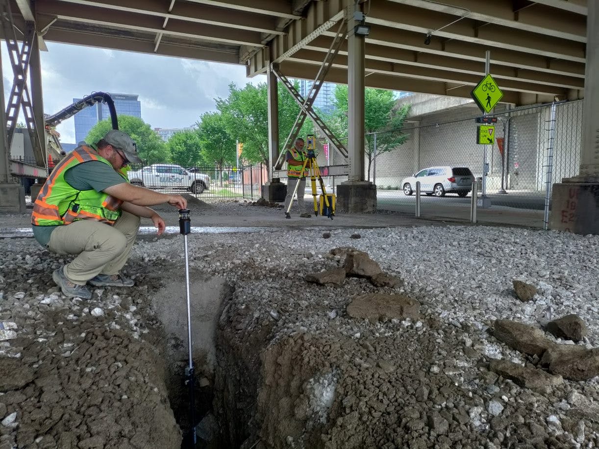
Wiser’s design team is rich with sound professionals, experienced in roadway, site, and structural design. Project design directly follows the planning phase of the project. While planning is a two-dimensional design, typically outlining intent but absent a detailed project survey, the design phase provides three dimensional details based on a complete topographic survey. This enables the designer to verify the planning footprint, address environmental considerations and drainage, and provide a detailed plan for project construction. Wiser is currently one of the most technologically advanced firms in the Southeastern U.S. and works daily to improve that status. Our offerings include mobile and static terrestrial lidar scanning. Mobile lidar allows the capture of very dense data from a vehicle at highway speeds. The result is survey grade roadway data gathered from the safety of a vehicle without impeding traffic. In conjunction with our mobile scanning, we use static laser scanners to capture highly exact survey and imagery data for many of our projects, such as bridges, railroad crossings, other structural roadway elements. This is all in conjunction with our aerial survey and full-service conventional survey capabilities.
subsurface utility engineering [SUE]
No data available